
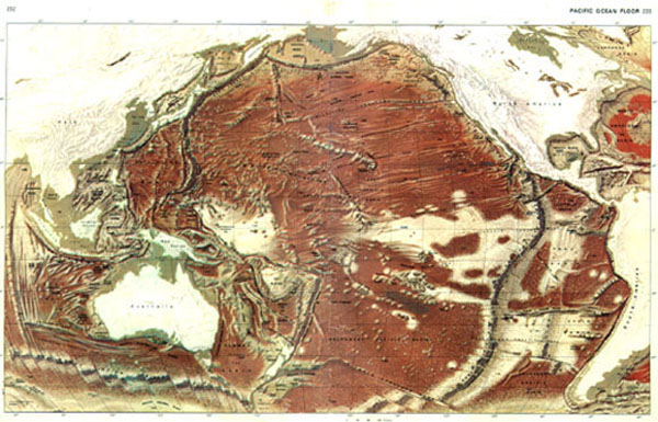
This is a scan of the Rand Mc Nally© Map of the Pacific Ocean Floor. It is shown here and in the book with the permission of the Rand Mc Nally Company. We use it because it is one
of the most modern topographic maps of the Pacific Ocean Floor ever made.The shading
and the highlights represent various depth elevations. If it were possible to drain all of
the water from the Pacific Ocean and look at it from space, compensating for the
curvature of the Earth, the Pacific Ocean Floor would look very similar to this
map. Large reproductions of this map may be found in most editions of theRandom House Encyclopedia and Goode's World Atlas.
This page was taken from the book
Ocean Floor Mysteries
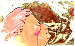
The Amazing Mystery
of the Great
FACE
on the
PACIFIC OCEAN FLOOR
by
Lloyd Stewart Carpenter

![]()